Sable Island Magnetic Observatory
| Name | Sable Island |
|---|---|
| IAGA code | SBL |
| Location | Sable Island, Nova Scotia, Canada |
| Latitude | 43.932° N |
| Longitude | 299.991° E |
| Elevation | 5m |
| Geomagnetic Latitude | 48.406° N |
| Geomagnetic Longitude | 22.556° E |
| Orientation | HDZF |
| In Operation since: | 1999 |
| INTERMAGNET member since: | 2004 |
Quasi-dipole geomagnetic coordinates are approximations calculated using the 14th generation IGRF at epoch 2026.5.
Background
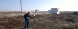
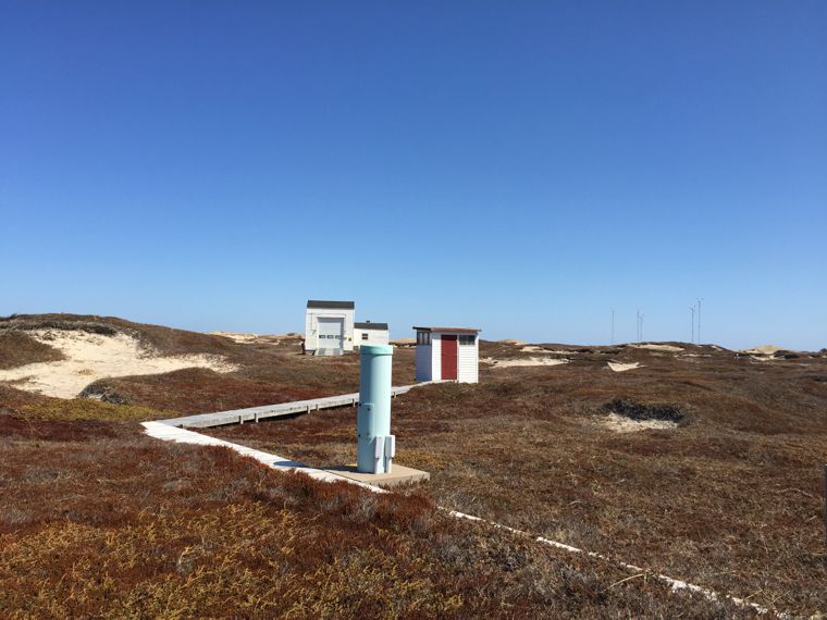
Sable Island is a sandbank formed by the meeting of currents from the St. Lawrence Delta and the Gulf Stream. It is located approximately 290km south-east of Halifax, Nova Scotia.
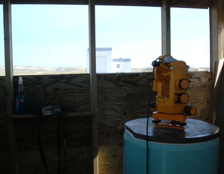
The observatory installation, funded as a joint venture between BGS, Sperry-Sun Drilling Services and Sable Offshore Energy, was completed in May 1999 and became operational from 8th May 1999. In 2011, the ownership was transferred to BGS.
Environment and Climate Change Canada have supported our magnetic observatory operations since 1999. At the end of 2019 Parks Canada took over responsibility for Sable Island, including supporting continued observatory operations.
Sable Island magnetic observatory is part of the INTERMAGNET network.
Data