Lerwick Magnetic Observatory

| Name | Lerwick |
|---|---|
| IAGA code | LER |
| Location | Lerwick, Shetland Islands, United Kingdom |
| Latitude | 60.138° N |
| Longitude | 358.817° E |
| Elevation | 85m |
| Geomagnetic Latitude | 57.516° N |
| Geomagnetic Longitude | 78.518° E |
| Orientation | HDZF |
| In Operation since: | 1922 |
| INTERMAGNET member since: | 1991 |
Quasi-dipole geomagnetic coordinates are approximations calculated using the 14th generation IGRF at epoch 2026.5.
Background
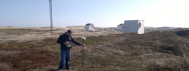
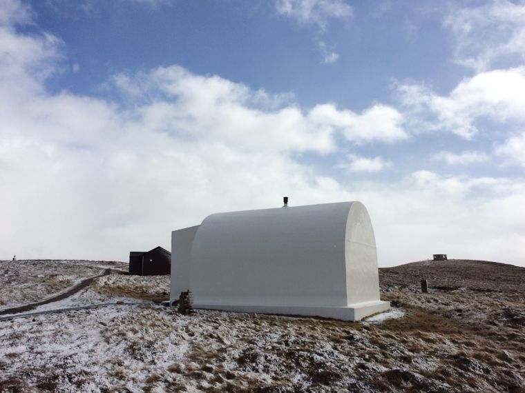
Lerwick Observatory is situated on a ridge of high ground about 2.5 km to the SW of the port of Lerwick. The surrounding countryside is moorland comprising peat bog, heather and rocky outcrops.
The observatory is operated by the Met Office as a meteorological station carrying out routine synoptic observations and upper-air measurements. Other work includes detection of thunderstorms, measurement of solar radiation, ozone and atmospheric pollution levels, and chemical sampling. BGS uses Lerwick as a seismological station, recording data from a local three-component broadband seismometer set.
Lerwick was established as a meteorological site in 1919 and geomagnetic measurements began in 1922. Responsibility for the magnetic observations passed from the Met Office to BGS in 1968.
Lerwick magnetic observatory is part of the INTERMAGNET network.
New measurements, new research
In March 2013 two electrode pairs were installed at Lerwick to measure the geo-electric field.
Data
- Current K-index activity level
- Monthly Bulletin Archive
- Annual Means
- Hourly Means
- K-indices
- Daily local geomagnetic activity forecast
- Minute and Hourly Means (from World Data Centre)
- Yearbooks
- Geo-electric data